
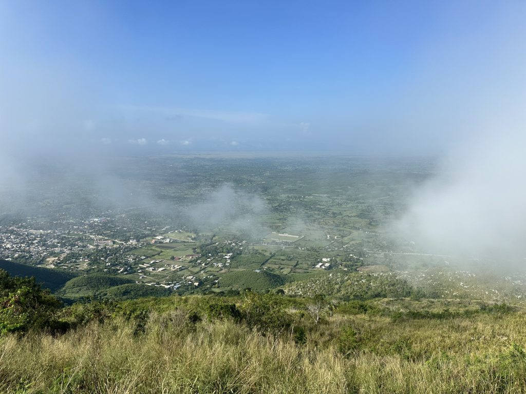
A steep, rocky ascent through gardens and deep undergrowth to spectacular views and chilly misty winds at the peak of Mount Pignon. Ascend about 1,200 feet in 1.5 miles. Last .25 miles and mountain peak require bushwhacking through 4-6 foot-high grasses and cautious scrambling over pitted limestone karst and unstable rock boulders. The panoramic views toward Pignon and in nearly every direction are as breathtaking as the steep ascent. No facilities, few to no people (occasional farmers tending their fields). Early morning ascent is recommended; weather at the peak can cloud up or change at any minute – also, it is quite cool and windy at the top.
View public details for this trail at the following links:
You park on the side of the road and begin your hike in the gauntlet of hell. Quite literally. Find the narrow pathway between the cemetery and the trash pits on the border of town. Bones, disease, toxic plastics, rubble and crumbling decay… It’s all there in plain view. The waste and dumping grounds of all that remains to remind us of the residential imprint of the people and material husks of what was so close to us before. Walls lined by ironic PSA’s – don’t throw trash here, don’t let your pigs eat here they’ll bring home disease.
Immediately following the walk through the wasteland is the most elemental form of extraction imaginable. People quarry rocks for construction material straight from the mountain, breaking chunks of limestone off the mountain bedrock and wheelbarrowing them down a chalky white pathway you’ll continue up. At the base of the mountain men, women, and kids all sit atop piles of varying sizes of bleached white limestone gravel, mostly a uniform golf ball size tapped apart by a constant pounding of hammers. The more luxurious piles have shade erected atop them. Split left through a break in the foliage to an open field. (If you continue to the quarry gash on the mountainside, split right to go to the Pignon marquee/make). Follow the cement pillars, but not to the end. Split off to the left on the chalky white path before the cement pillars end.
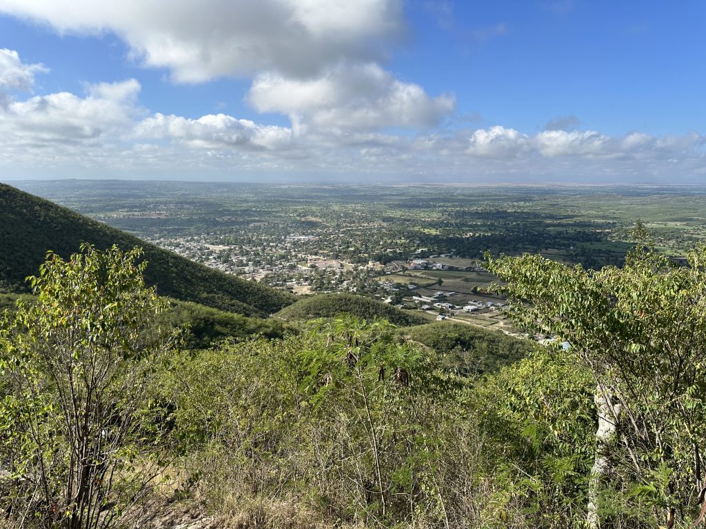
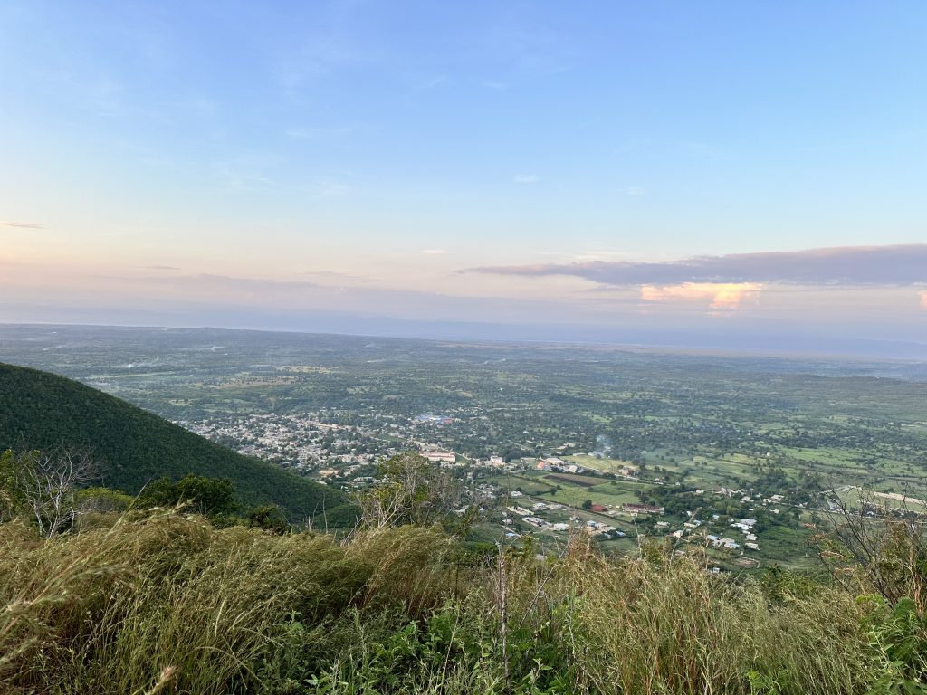
After splitting left to leave the chalk pathway you begin a dirt footpath through delineated plots of people’s gardens. Follow the footpath until you turn right on a steep, overgrown pathway that’s a near-scramble. A good test of your metal for portions to come. After a few steep minutes of climb, take the pathway left, and begin to enjoy the initial views of Pignon from above. At about .9 miles in you will arrive at an abandoned chabon platform with a pretty good overlook of the village. Take a breather, it was a steep ascent, about 600 feet. You’re 2/3 of the distance, but less than half the elevation gain up. That is, you have about 700 feet to ascend in only about half a mile now.
Continue scrambling your way up, appreciating the fact that the cultivated areas all the way to the peak are maintained by farmers whose work this is to survive. It’s not recreation for them… They don’t have a choice if they want to eat. So at the very least be respectful, greet them, and treat it as someone else’s turf where you’re a guest. Because you are.
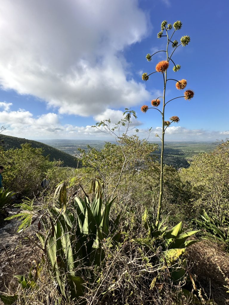
Not just in their subsistence farms but also amongst the other living things God has created. You’ll now be walking through a grove of century plants, which emit a long budding stalk at the end of their 15-30 year life span, which flowers once, before they dry up and die. They tower above you like something out of Dr. Seuss’s Lorax tales, and are no less bizarre. If they are flowering on your hike you’ll see their reservoirs of nectar visited by buzzing bugs and birds, plus lizards nabbing a snack of other things feeding on the plant. Around here you might also begin to hear the melodious trill of the mockingbirds. And don’t be alarmed if alongside the path the trees explode with a sudden frenzy of guinea hens fleeing your intrusion. Maintain your ascent… It’s steep again.
Peel off to the left to border the garden. All these pathways are tricky, by the way, so use GPS tracks or more helpfully, take advice from the helpful farmers who make sure you don’t get lost. Tip them 200 goud or so as a thank-you. Again, you’re on someone’s turf.
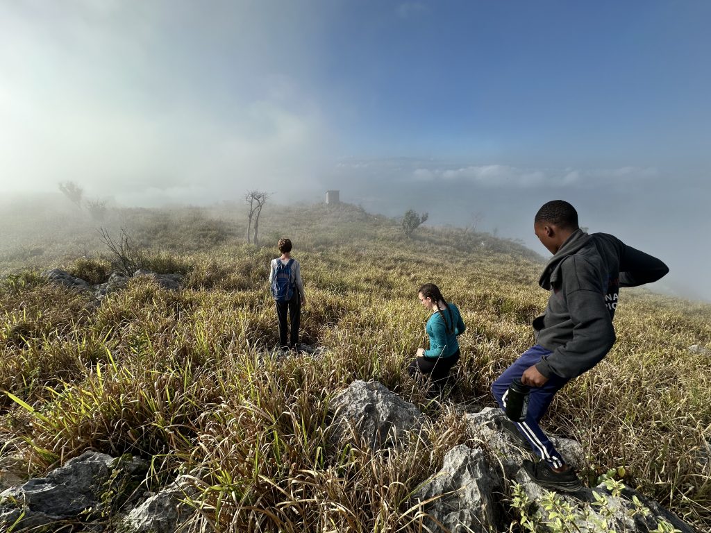
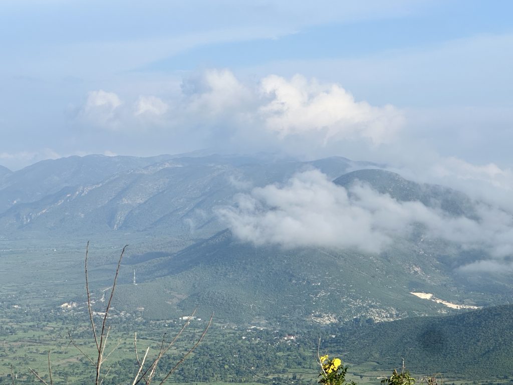
Look for wild coffee, and other plants. And begin looking for uniquely shaped cactii growing basically out of the rocks themselves, in tiny pockets that collect water and detritus. Only the strongest survive up here – or maybe the plants that have cleverly found their niche and exploit it. You’ll begin to pass discarded pieces of radio antenna in the overgrowth. And cut through a few gardens. At some point turn left, then right shortly afterward to plough through towering sword grass and scramble/climb the gnarled chunks of karst rock. The shack on the peak may be visible through the tall grass. You’ll know it when you crest to the top. When you reach the shack you’ve made it – you’re above it all. If your not enshrouded in clouds or mist, turn to enjoy the majestic view west of Pignon and the plains.
It should begin to dawn on you that you’re teetering the border of the divine and most inescapable material human. The hike that began in a trash pit and a cemetery is now exploding with flowering plants and fruitful gardens and incredible views of the plain. And that border between the material and the transcendent makes this pilgrimage sacred, if you’re open to it. At the very least, you’re coming up on more of a ground-level view of Haiti’s geological, ecological, and human landscape. The calcium carbonate, limestone bedrock, the very skeleton of the land, is laid bare throughout this hike beginning at the limestone quarry and exposed again at the top of the mountain in gnarled erosion-pocked corals of unstable karst clumps. Watch your step.
The features to appreciate while you’re up here… The shack, of course, which if it’s closed don’t open it. It has tools, batteries, and supplies for the antenna. You can find the antenna base and anchor points buried under a few spots in the grass. At the time of writing all this is in pieces and being reconstructed (March 2025). To the north about 200 feet is a geodetic survey marker – illegible. And the protruding base of a rusting antenna you can climb a few feet above the grass. The grass hides all manner of ankle-crushing pits and wobbling rock chunks. Precarious and unstable. Be very cautious. There are short drops and chasms also, and of course the deadly cliffs dropping hundreds of feet on the north to west sides of the mountain, the precipitous plummets that give Mt. PIgnon its characteristic protruding shape poking above the landscape and curling like an enormous wave. Of course, you’ve just ascended the more gradual slope, but the far side a plummeting cliff to oblivion.
You’ve made it! Enjoy the views all the way to San Rafael in the north, clear to the D.R. In the east, and the Massif du Nord , Morne Bohoc to the SE and Morne Savanette to the NE.
Descend carefully, following the path you came up on. Try not to erode the pathway even more or injure yourself by slipping and sliding and dislodging gravel. Take your time.
There is a side route – the detour to the Pignon marquee is only about ¼ mile. It’s a steep ascent though, an all-out scramble toward the end. A beautiful view, though, and a good photo op.